
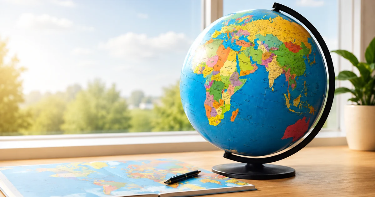
Learning all countries of the world can feel like a huge challenge at first. There are more than 190 countries, spread across several continents, with different shapes, names, capitals, flags, and borders.
The good news is that you do not need to memorize everything at once. The most effective way to learn the countries of the world is to combine visual map practice, regional learning, and short quiz sessions that you repeat regularly.
Why country lists are not enough
Many learners start with an alphabetical list of countries. That can be useful as a reference, but it does not teach you where countries are. Geography is visual. To really learn a country, you need to connect its name with its location, shape, neighboring countries, and region.
A list can tell you that Albania, Algeria, Andorra, and Angola exist. A map helps you understand why Albania belongs to the Balkans, why Algeria is in North Africa, and why Angola sits on the Atlantic coast of southern Africa.
Start by learning countries by region
The biggest mistake is opening a full world map on day one and trying to learn every country at the same time. That usually becomes frustrating very quickly.
Instead, break the world into smaller learning zones: Europe, Africa, Asia, North America, South America, Oceania, and island regions such as the Caribbean. This gives your brain a structure and makes progress easier to see.
Learn countries in small groups
Countries are easier to remember when you learn them in meaningful groups. In Europe, you might start with Scandinavia, the Baltic states, the Balkans, or the Benelux countries. In South America, the Andes can help you connect Colombia, Ecuador, Peru, Bolivia, and Chile.
These groups turn a long list into smaller patterns. Instead of memorizing hundreds of separate facts, you build a mental map made of connected places.
Use map quizzes for active recall
Reading about countries feels easier than recalling them. But real learning happens when you have to answer actively. A map quiz forces you to recognize a country, choose the right location, and check your memory immediately.
This is why short quiz rounds work so well. You get instant feedback, notice which countries you confuse, and improve a little every time you play.
Practice with the World Countries Map Quiz
Repeat the countries you get wrong
Some countries will stick immediately. Others will keep causing trouble. That is completely normal. The countries you get wrong are actually the most useful ones, because they show you exactly where to focus next.
Common mix-ups include Slovakia and Slovenia, Niger and Nigeria, Latvia and Lithuania, Guinea and Guinea-Bissau, Dominica and the Dominican Republic, or the Republic of the Congo and the Democratic Republic of the Congo.
Connect countries with visual clues
Your brain remembers places better when you attach them to a clear image. Italy looks like a boot. Chile is long and narrow along the west coast of South America. Madagascar is the large island off Africa’s east coast. Japan is an island chain east of Korea and China.
These visual anchors make countries easier to find again later. The more you connect names with shapes and positions, the more natural the world map becomes.
A simple weekly learning plan
If you practice for 10 to 15 minutes a day, you can make strong progress within a few weeks. A simple plan could look like this: Europe in week one, the Americas in week two, Africa in week three, Asia in week four, Oceania and island countries in week five, and review in week six.
The goal is not to be perfect immediately. The goal is to come back often enough that the map starts to feel familiar.
Final tip
Do not try to learn the world as one giant list. Learn one region, quiz yourself, repeat your mistakes, and then move on. With the right routine, learning all countries of the world becomes much more manageable and much more fun.