
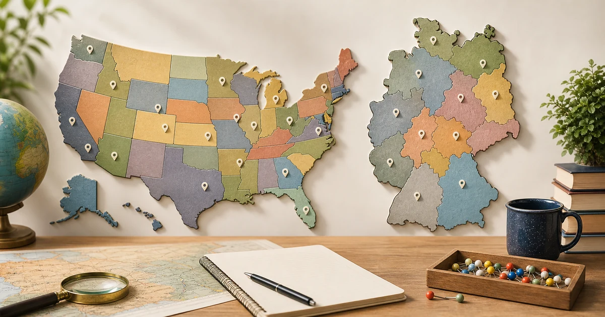
A state minefield quiz is hardest when the map stops giving you borders. The USA and Germany make a useful pair: one is wide and varied, the other is compact and detail-heavy, but both punish vague map memory.
Use the USA quiz to train scale, coastlines, and big interior shapes. Use the Germany capitals minefield to train small-state precision, city-state recognition, and the link between a capital clue and its Bundesland.
Practice the United States Minefield Quiz
Why the USA feels different
The USA state quiz has a large playing field. Western states often give you broad shapes and straight borders, while the East is denser and more irregular. In minefield mode, that means the challenge changes as you move across the map.
- Start with coast and corner states before moving into the interior.
- Use the Great Lakes, Gulf Coast, and Pacific coastline as anchors.
- Group similar rectangles in the West by their neighbors, not just by shape.
- Slow down in the Northeast, where many states sit close together.
Why Germany feels different
Germany has fewer states, but the map is tighter. Bavaria and Lower Saxony are easy to spot once you know their scale, yet Bremen, Hamburg, Berlin, and Saarland demand much more exact clicking.
The capitals version adds another layer. You are not only locating a Bundesland; you first translate the prompt from city knowledge into map knowledge.
Try Germany Minefield by Capital
Big areas versus similar shapes
Large areas are not automatically easy. Texas, California, Alaska, Bavaria, and North Rhine-Westphalia are memorable, but minefield mode asks for exact placement, not just recognition.
Similar shapes are the bigger trap. Wyoming and Colorado look deceptively simple; Brandenburg and Saxony-Anhalt can feel less distinct without borders. Treat each answer as a neighbor problem: what touches it, and from which side?
City-states and capitals
Germany's city-states are the clearest difference from the USA state quiz. Berlin, Hamburg, and Bremen are small enough that a confident but imprecise click can fail. In capitals minefield, that pressure increases because several clues feel familiar before the map position is fully clear.
For the USA capitals variation, separate the capital from the largest city in your memory. Albany, Sacramento, Tallahassee, and Springfield are useful reminders that capital knowledge is its own skill.
Practice United States Minefield by Capital
A training order that works
- First play the visible-border state quiz to build the base map.
- Move to minefield only when you can predict neighbors before clicking.
- Add capitals after state shapes feel stable.
- Review misses in pairs: state plus neighbor, or capital plus state.
Build the base with United States Find All States
Review German states by capital
Explore United States geography quizzes
Explore Germany geography quizzes
Final takeaway
The USA minefield quiz teaches you to manage scale and regional patterns. Germany's capitals minefield teaches compact precision. Together, they turn a basic state quiz into a stronger map-reading routine.